
Road Trip Routing: Straight-Line Efficiency vs. the Scenic Long Way Around

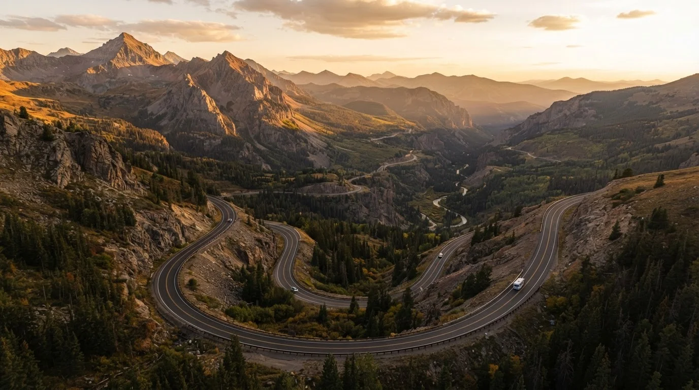
Photo: AskSpecialist.net editorial
Key Takeaways
- Efficient routing saves time and fuel but can reduce the overall quality of the experience.
- Scenic detours add mileage and unpredictability, but often deliver the most memorable moments.
- Your trip's purpose - destination vs. journey - should drive your routing decision.
- Hybrid approaches let you prioritize efficiency on some legs while leaving room for detours on others.
- Always verify road conditions and fuel stop availability before committing to remote scenic routes.
Predictable daily driving times reduce scheduling stress
When you know a leg will take roughly six hours by interstate, you can plan meal stops, check-in times, and rest breaks with confidence. Scenic routes routinely run 30-50% longer than mapping tools predict.
Lower fuel consumption on highway speeds
Most vehicles achieve better fuel economy at steady highway speeds than in stop-and-go two-lane travel. For long trips, this difference can meaningfully affect your total fuel budget.
Easier to manage with children or mobility needs
Interstate corridors offer consistent access to restrooms, food, and medical facilities - critical considerations when traveling with young kids or passengers who require regular stops or accessible amenities.
Reduces decision fatigue on long trips
Navigation on a well-signed interstate requires minimal active attention, leaving mental energy for conversation, music, or simply staying alert behind the wheel.
Adds significant mileage and drive time
A scenic detour that looks modest on a map can add two to four hours to a driving day - a meaningful trade-off if your itinerary is already tight.
Fewer fuel stations and services on back roads
Remote scenic corridors, particularly in the Southwest and rural West, can have long gaps between towns. Running low on fuel or experiencing a breakdown in these areas creates real logistical problems.
Road conditions are less predictable
Scenic byways and two-lane state highways are more prone to seasonal closures, construction delays, and unpaved sections that standard mapping apps don't always flag accurately.
Can lead to over-scheduling and exhaustion
Trying to squeeze multiple scenic detours into a single trip often results in rushed stops and driver fatigue - undermining the very experience the detours were meant to provide.
Why Your Routing Choice Matters More Than You Think
Most road trip planning focuses on the destination: where to stay, what to see, how much to spend. But the route itself is a foundational decision that affects fuel costs, daily driving hours, stress levels, and whether the trip feels like an adventure or a commute. Understanding the real trade-offs - not just the mileage difference - helps you build a smarter plan from the start.
For a deeper look at how routing fits into the full planning process, see the American Road Trip Planning resource, which covers budgeting, lodging, and contingency planning alongside route selection.
~3.1M miles
Total U.S. Interstate Highway System length
The Federal Highway Administration reports the Interstate system spans over 48,000 miles, but the broader U.S. highway network - including state and local roads - exceeds 4 million miles, offering enormous variety in routing choices.
20-30%
Typical time underestimate on scenic routes
Travel planners and road trip communities frequently note that two-lane scenic byways take 20-30% longer than GPS estimates due to speed variation, photo stops, and rural traffic.
The Case for Straight-Line Efficiency
Efficient routing - choosing the fastest or most direct path between two points - has genuine, practical merit that often gets dismissed in favor of romanticized detour culture.
Predictable daily driving times reduce scheduling stress
When you know a leg will take roughly six hours by interstate, you can plan meal stops, check-in times, and rest breaks with confidence. Scenic routes routinely run 30-50% longer than mapping tools predict.
Lower fuel consumption on highway speeds
Most vehicles achieve better fuel economy at steady highway speeds than in stop-and-go two-lane travel. For long trips, this difference can meaningfully affect your total fuel budget.
Easier to manage with children or mobility needs
Interstate corridors offer consistent access to restrooms, food, and medical facilities - critical considerations when traveling with young kids or passengers who require regular stops or accessible amenities.
Reduces decision fatigue on long trips
Navigation on a well-signed interstate requires minimal active attention, leaving mental energy for conversation, music, or simply staying alert behind the wheel.
Interstate highways in the U.S. are engineered for consistency. You'll find predictable speed limits, reliable rest areas, and well-spaced fuel stations. For families with young children, drivers managing chronic fatigue, or anyone traveling with time-sensitive commitments, that predictability has real value.
Efficient routes also make it easier to keep your road trip cost-competitive with flying - fewer overnight stops and lower fuel consumption can narrow the gap considerably.
The Case for the Scenic Long Way Around
Scenic routing - deliberately choosing highways, byways, or back roads that add distance in exchange for visual interest or cultural richness - is what most people picture when they imagine a classic American road trip.
Adds significant mileage and drive time
A scenic detour that looks modest on a map can add two to four hours to a driving day - a meaningful trade-off if your itinerary is already tight.
Fewer fuel stations and services on back roads
Remote scenic corridors, particularly in the Southwest and rural West, can have long gaps between towns. Running low on fuel or experiencing a breakdown in these areas creates real logistical problems.
Road conditions are less predictable
Scenic byways and two-lane state highways are more prone to seasonal closures, construction delays, and unpaved sections that standard mapping apps don't always flag accurately.
Can lead to over-scheduling and exhaustion
Trying to squeeze multiple scenic detours into a single trip often results in rushed stops and driver fatigue - undermining the very experience the detours were meant to provide.
The honest trade-off is that scenic routes demand more of you. Narrower roads, fewer services, and less predictable timing require active planning rather than passive navigation. That said, for travelers whose goal is the journey itself rather than simply reaching a destination, those demands are part of the appeal.
If you're evaluating whether a particular destination justifies the added drive time, the guide to road-trip-friendly U.S. cities offers useful criteria for making that call.
Building a Hybrid Approach That Actually Works
In practice, most successful road trips blend both philosophies. A common structure: use efficient routing on legs where you're simply repositioning - crossing flat, featureless terrain to reach a more interesting region - and switch to scenic options once you're in an area that rewards slower travel.
A few practical tactics that support a hybrid plan:
- Segment your route by purpose. Label each driving day as either a transit day (efficient) or an exploration day (scenic). Assign accommodations accordingly.
- Front-load the hard miles. If your trip includes an unavoidable long haul, do it early before driver fatigue accumulates.
- Build buffer time. Scenic routes almost always take longer than mapping apps estimate. Add 20-30% to your projected drive time on any route marked as a byway or two-lane highway.
- Check fuel stop gaps in advance. Some scenic corridors in the American West have stretches of 80-100 miles between stations. Know your tank range before you commit.
Verify Conditions Before You Go
For more guidance on assumptions that trip up even experienced travelers, common trip planning myths is worth reviewing before you finalize your itinerary.
The content on this site is provided for informational purposes only and should not be considered a substitute for professional advice. While we strive to provide accurate and up-to-date information, we make no guarantees regarding its completeness or accuracy. Always consult a qualified professional for advice specific to your circumstances before making any decisions.